


23/07/2026 12:04 - Actualidad
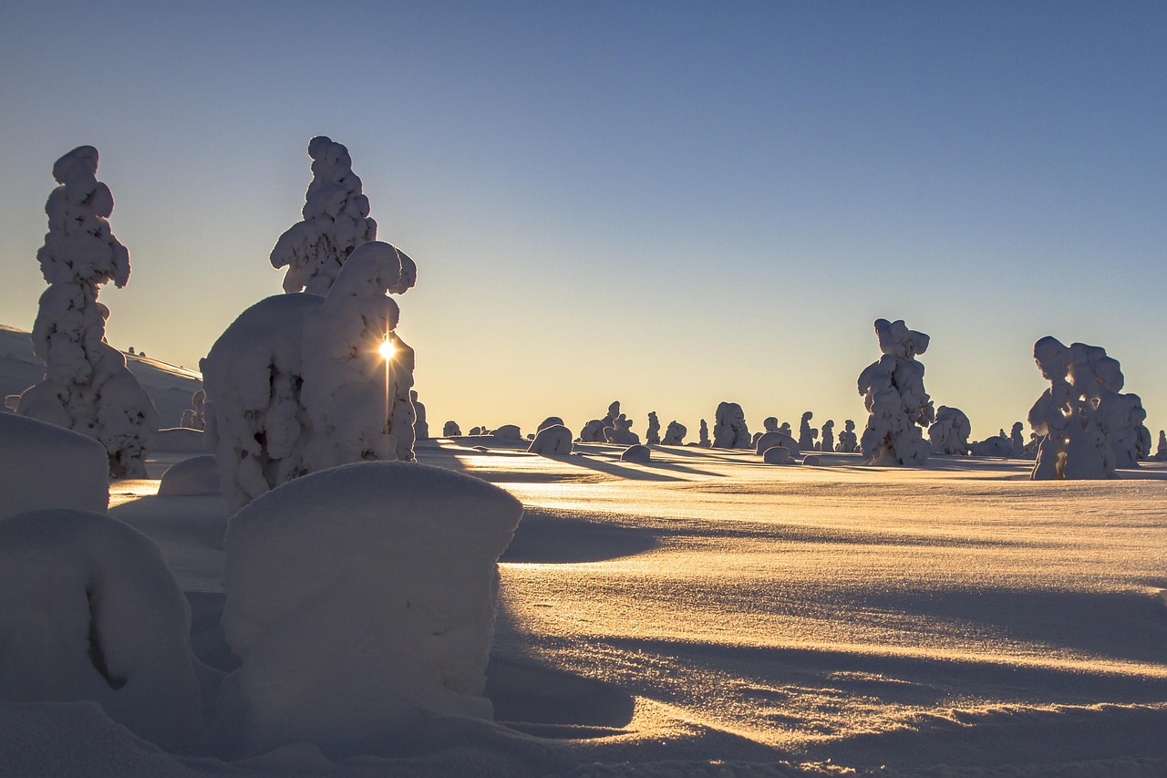
The southern region of Argentina is experiencing one of the harshest weeks of winter, with a low-pressure system set to intensify snowfall in the coming days.
On July 22 and 23, 2026, the National Meteorological Service (SMN) issued a red alert for extreme temperatures for western Santa Cruz and southeastern Chubut. This highest alert level means the conditions can affect everyone, even those without pre-existing health conditions.
In Tierra del Fuego, a yellow alert is in effect, with temperatures around -10°C and strong winds.
Snowfall is not limited to high altitudes. In the Andes of Mendoza and San Juan, accumulations already reach 3 to 4 meters. A new storm is expected from Thursday the 23rd, with possible accumulations exceeding 1.5 meters.
In Neuquén and Río Negro, especially around Bariloche, snowflakes are expected even at lower elevations. In the high mountains, gusts of up to 100 km/h will create whiteout conditions, drastically reducing visibility.
A whiteout is a dangerous weather phenomenon where strong winds lift snow from the ground, combined with falling snow, creating near-zero visibility.
Road conditions are critical. On National Route 23 (access to Bariloche) and National Route 3 (section Comandante Luis Piedra Buena - Río Gallegos), temporary restrictions have been implemented due to ice patches.
The Buenos Aires Metropolitan Area (AMBA) has experienced overcast skies and drizzle in recent days. Since the afternoon of Wednesday the 22nd, a gradual improvement is observed, though humidity will persist. Isolated rains are expected for Friday, July 24, with a trend toward stability over the weekend, when highs could reach 17°C.
AMBA includes the city of Buenos Aires and its surrounding suburbs, home to about 15 million people.
The SMN recommends dressing in multiple layers of lightweight clothing, avoiding prolonged outdoor exposure, and keeping indoor spaces heated safely—always ensuring proper ventilation to prevent carbon monoxide buildup.

Alfredo S. Quiroga
