


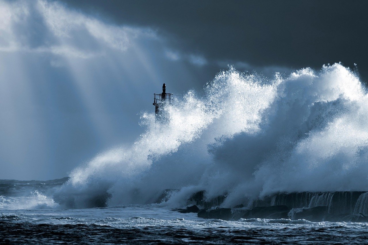
A Global Climate Shift
The global atmosphere is currently recording a thermal anomaly exceeding 10 degrees in the Pacific, cementing what experts describe as a "Super El Niño."
While the Atlantic remains unusually calm, the Eastern Pacific has transformed into a high-energy laboratory for extreme storms, creating a dangerous contrast in global weather patterns.
The Fujiwhara Effect
Meteorologists are monitoring a potential Fujiwhara Effect—a rare phenomenon where two nearby cyclones (like Hurricane Polo and Tropical Storm Odalys) begin to orbit each other. This interaction makes their trajectories nearly impossible to predict, increasing the risk for coastal populations.
Active Threat Monitor - 2026
| System Name | Intensity / Category | Key Stats | Primary Threat Zone |
|---|---|---|---|
| Hurricane Polo | Category 5 | 180 mph sustained winds | Mexico / US West Coast |
| Tropical Storm Odalys | Tropical Storm | Rapid intensification | Central America / Pacific |
| Tropical Depression Quince-E | Depression | 90% reorganization probability | Hawaii (Big Island) |
What is a "Super El Niño"?
For those unfamiliar, El Niño is a climate oscillation characterized by the abnormal warming of surface waters in the equatorial Pacific.
Historically, "Super" events (like those in 1982-83 or 1997-98) cause extreme droughts in Asia and Australia, while triggering massive floods and severe storms in the Americas. In 2026, this is amplified by anthropogenic climate change, which raises the base ocean temperature, giving cyclones more energy to reach Category 5 status.
Regional Impact
The vulnerability is critical along the coast of Mexico. Further north, California Governor Gavin Newsom has already declared a state of emergency, focusing on Long Beach due to prior damage from Hurricane Marie.
In Colorado, forecasts indicate above-average precipitation between October and December. However, there is a worrying risk: global warming might cause this to fall as rain rather than snow at low altitudes, leading to flash floods instead of water reserves.
Global Perspectives & Future Risks
Data sourced from climate monitoring agencies and official state reports. For more information, visit the California Governor's Office.