


A Strong Quake Felt Across Peru
On Thursday, August 20, 2026, at 1:00 PM local time, a powerful earthquake rattled central Peru. The Geophysical Institute of Peru (IGP) reported a magnitude of 7.2, while the U.S. Geological Survey (USGS) registered it at 6.7. The epicenter was located 35 kilometers north of Coracora in the province of Parinacochas, Ayacucho region, at a depth of 108 kilometers.
The tremor was distinctly felt in Ayacucho, Arequipa, Cusco, Apurímac, Ica, and even in Lima, where high-rise buildings swayed noticeably. Social media quickly flooded with videos of people evacuating buildings, objects toppling, and the moment of the quake from various angles.
| Magnitude (IGP) | 7.2 |
|---|---|
| Magnitude (USGS) | 6.7 |
| Epicenter | 35 km north of Coracora, Ayacucho |
| Depth | 108 km |
| Time | August 20, 2026, 1:00 PM local time |
| Affected cities | Ayacucho, Arequipa, Cusco, Apurímac, Ica, Lima |
| Fatalities | None |
| Injuries | 2 minor |
Official Damage Report
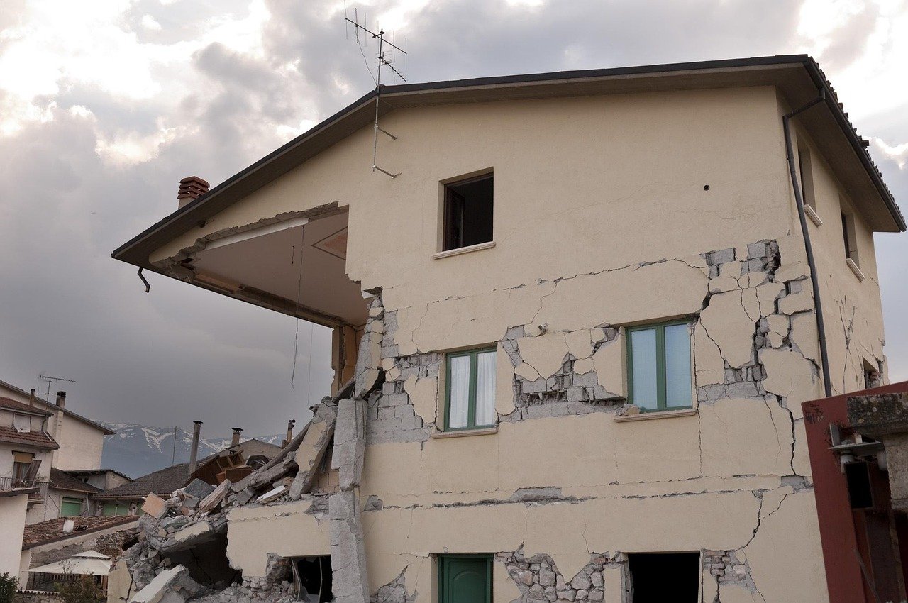
The head of Civil Defense, Luis Vásquez, confirmed there were no fatalities. However, two people sustained minor injuries while evacuating their homes in the capital of Parinacochas. Material damage includes 22 homes affected, six health centers, and one school across several districts of Ayacucho and Cusco. In Coracora, a mountainous area with many adobe constructions, rockfalls on nearby slopes and landslides were observed in rural zones.
Why Peru Trembles So Frequently
Peru sits on the Pacific Ring of Fire, one of the most seismically and volcanically active regions on Earth. This belt accounts for about 90% of the world's earthquakes and more than half of its active volcanoes. The primary cause is subduction: the Nazca Plate is diving beneath the South American Plate, accumulating stress that is released as earthquakes.
Geologist Andrés Folguera, a researcher at CONICET and professor at the University of Buenos Aires, explained that along the South American margin, the Cocos, Nazca, and Antarctic plates participate in this process. "All the energy of earthquakes and volcanism is concentrated there," added geologist Jorge Rabassa. This geological setting explains why tremors are common and why the western coast of South America is among the highest-risk regions globally.
A Journalist's Courage Under Pressure
Amid the panic, one image captured worldwide attention. Journalist Katyusca Torres Aybar, from radio Exitosa, was broadcasting from the sixth floor of a building when the shaking began. As cameras wobbled and guests fled the studio, she remained composed and urged the public: "We ask the population to remain calm. We know this has already happened during the week." She even showcased her emergency backpack and explained how to use it—a display of professionalism that earned widespread praise on social media.
A History of Resilience
Peru lives with this threat regularly. In July 2026, the Junín region experienced a series of tremors up to magnitude 5.4, resulting in five deaths and dozens of destroyed homes. The most devastating recent event was the 2007 Ica earthquake, with a magnitude of 7.9, which caused around 600 fatalities and massive property damage.
Authorities have ruled out a tsunami and urged the public to ignore rumors. The IGP reminded that it is the only official source for seismic information and that earthquakes cannot be predicted by any scientific method.