08/07/2026 03:33 - Actualidad
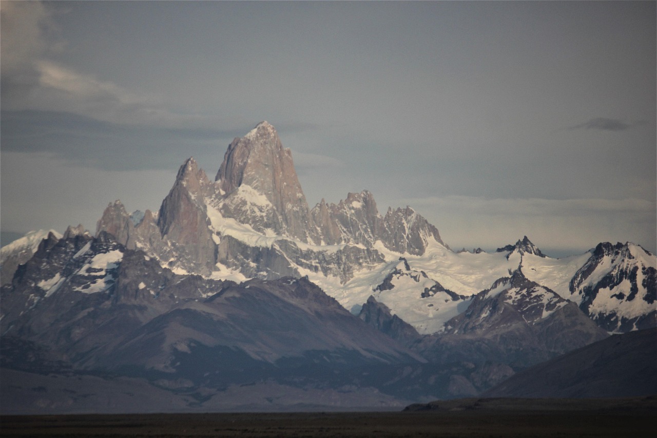
The north of Argentine Patagonia is preparing to receive a new weather front that promises to bring abundant precipitation, intense winds, and the possibility of enjoying the first major snowfalls of the season in the Andes mountains. According to the National Meteorological Service (SMN), this Wednesday, July 8, 2026, heavy and persistent rains are expected, scaling from a yellow alert to a red alert in different localities of the Neuquén and Río Negro provinces.
To put this forecast into context, it is important to understand how the SMN classifies weather phenomena:
According to data from the Interjurisdictional Basin Authority (AIC), Tuesday presented a marked climatic contrast in the province of Neuquén. The provincial capital recorded partly cloudy skies, with a high of 21°C and a low of 5°C, accompanied by westerly winds of up to 48 km/h. In the mountain range, localities such as San Martín de los Andes and Villa La Angostura experienced locally heavy showers and temperatures that did not exceed 4°C, while Zapala endured intense gusts of up to 77 km/h from the northwest.
Westerly winds between 40 and 60 km/h are expected, with gusts of up to 90 km/h. Mountain areas such as Huiliches, Lácar, Aluminé, Chos Malal, Loncopué, Minas, Picunches, and Ñorquín will be under alert for 24 hours.
During the night, a yellow alert for snow is expected in Bariloche, Pilcaniyeu, Ñorquincó, 9 de Julio, West of El Cuy, and 25 de Mayo, with projected accumulations between 10 and 15 centimeters.
Although the weather presents challenges, snow beautifies our mountains and rains nourish our basins. Residents and tourists are advised to take extra precautions when driving, keep vehicles in good condition, follow the instructions of the Provincial Highway Department, and enjoy the winter landscapes from safe and warm places. The Patagonian community is prepared to face this front with responsibility and optimism.
Sources: Minuto Neuquén and Diario Río Negro

Alfredo S. Quiroga